Not wasting any time after finishing the Kepler Track, I got straight back on the road and headed up the Milford Road, past Lake Te Anau, to Gunn's Camp at Hollyford. While walking the Kepler Track, I'd decided on my next plan: to conquer the Hollyford Track. The Hollyford Track is a step up from the Kepler Track, being a 56km track from the road end to the sea... and another 56km back again. The track is much tougher and the overall distance much longer – 112km there and back compared to 67km for the Kepler round trip – but I was feeling pretty confident after and didn't feel at all tired, so the Hollyford it was. I'd already stocked up with ten days' worth of food just in case, so after a night at Gunn's Camp, I headed for the start of the track.
You might be wondering what a tramper has to carry on his or her back for a walk like this; well, for a nine-day hike like the Hollyford, it's a hell of a lot. For a start, this is Fiordland, so you need clothes for all types of weather, from boiling sun to freezing hail, so the clothes take up a fair amount of weight, with waterproof tops and bottoms, long trousers, shorts, T-shirts, sweatshirts, plenty of socks, swimming trunks... and more. Then there's the food for ten days (and always take a spare day or two, just in case you get stranded), which in my case included 1kg of muesli, powdered milk, 40 Ryvita, cheese, meat paste, seven packets of rice, four tins of tuna, tomato paste, spices, coffee, sugar... all ready to be split into strict daily rations. Throw in my Trangia cooker and half a litre of meths, and it's getting heavier. Add in a sleeping bag and inflatable pillow, a toiletries/first aid bag, and things like torches, candles, compass, maps, books and so on, and you have your survival pack for over a week.
I could hardly lift the thing as I set off for the track, but the pack gets lighter as you eat your way through your supplies. You also get fitter as you progress, so one thing's for sure: that first lift is always the worst.
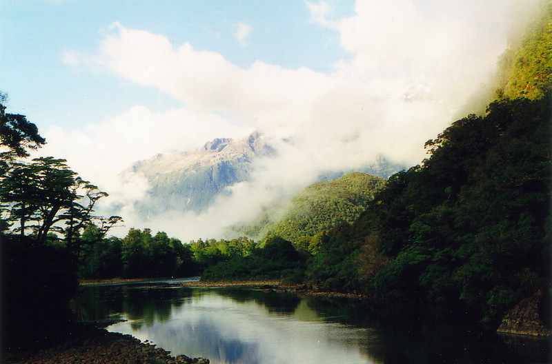
Of course, the rain started straight away. I couldn't really moan, seeing as I'd had four days of glorious weather on the Kepler and Fiordland isn't exactly known for its sunshine, but it did mean that the first day, from the road end to the Alabaster Hut on Lake Alabaster, wasn't that thrilling; I couldn't see much of the Hollyford Valley that I was walking down, and the promised mountains weren't anywhere to be seen. Still, the motley collection of people I found in the hut soon dispelled all thoughts of the weather; if the Kepler had been full of rather predictable traveller-types, the Hollyford was full of New Zealanders from all walks of life. From the six Tararua Tramping Club members to the two mad adventurers who had braved insane terrain to get there from Queenstown, the conversation flowed as freely as the water down the panes.
I met a guy called Rick who had the same sort of plan as me – nine days to go to the end of the track and back – and a family from Timaru who provided their own little soap opera in family politics for us all to enjoy, with an ancient but tough-as-old-boots mother taking her three late-twenties kids on the track, as well as two tag-along American friends who were well out of their depth. The Hollyford, being constructed as a one-way track, ensured that I'd end up with most of these people every night (except the Tararuas who were heading south), and this seemed a reasonable prospect, as long as nobody snored. Luckily nobody did.
Tempting Tracks
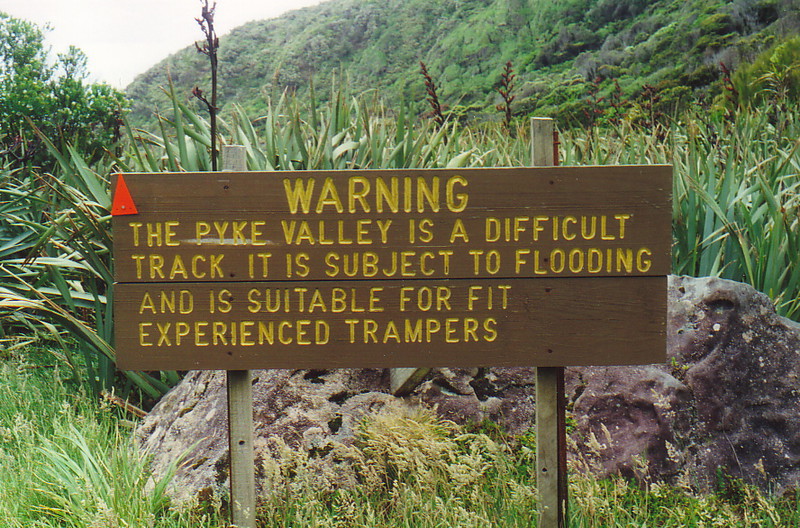
One of the stories the Tararuas told was of the Pyke Loop. The Hollyford is a one-way track, but there is a continuation of the track up the coast and back down the Pyke river, coming out at the Alabaster Hut again; if you imagine the whole loop as a Y-shape, then the Hollyford Track goes from the bottom of the Y to the top of the left fork, and the Pyke Loop crosses the top of the Y and heads back down the left-hand side, back to the stem. Although this loop track sounds ideal, reducing the only repeated section of the walk to the last day from Alabaster to the road end, it's not really a sensible option; it's classed as a route rather than a track, which means it's hardly marked, it's not maintained, and if it rains you're in serious trouble, with flooding rivers, big swamps and only two huts on the entire 60km stretch. When I'd first looked at the walk details for the Hollyford I'd briefly entertained the idea of doing the Pyke Loop, only to read that the walk was only suitable for experienced, well-equipped parties, so I'd stuck to the Hollyford. Half of the Tararua group had just returned from the Pyke Loop, and with mud up to your waist, fast-flowing rivers and seriously thick scrub lacerating your legs, it sounded like the Hollyford was the better bet. Still, the Pyke would have been an interesting option if I'd been with a group.
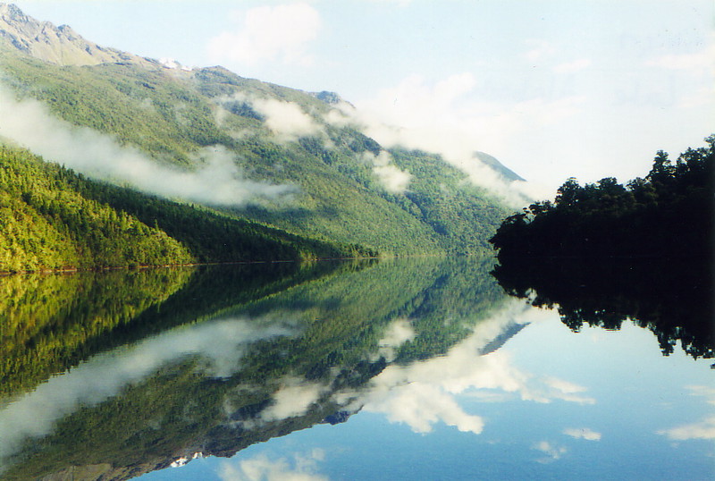
The second day took me through forest bog and along the first section of the cutely named Demon Trail, and up the eastern shore of the north-south Lake McKerrow (the left branch of the Y, if you like). The rain had mercifully stopped, producing some interesting views in the morning over Lake Alabaster, with wispy clouds hanging round the tops – 'hogs backs' as Rick said the clouds were called – but the track was pretty nasty, coming complete with big mud puddles to negotiate, and heaps of moss-covered boulders that were so slimy they were lethal underfoot.
It didn't take too long, though, and it was a pretty little walk, and by lunchtime I'd arrived at the Demon Trail Hut, where I found a beautiful little beach where I washed all my clothes. By now the sun had truly come out, and apart from the sandflies, who were epic all the way along the track, it was bliss. I also met more people – Phil, Tash and Steve from Christchurch – and before long we were all yarning the evening away. Too late we all discovered that Phil's snoring was about as loud as a human being's can be, but after a day's tramping it takes considerable noise to keep you awake, and besides, I'd packed my earplugs. There were some tired looking walkers the next morning, though...
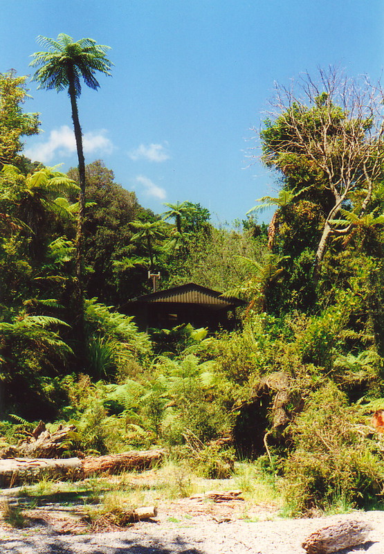
Day 3 consisted of the rest of the Demon Trail to Hokuri Hut, almost at the northern tip of Lake McKerrow, and apart from a couple of breaks in the bush, it was mainly tricky and slippery track, undulating along the lakeside, but totally enclosed by thick forest. Hokuri Hut was a welcome sight, and here I met Bill and Gary, who had just come from a trip anti-clockwise round the Pyke Loop. They looked in a real state, with scratched legs, raw elbows, and some serious stories. Gary kept on going south, but Bill stayed the night and kept us all entertained with tales of places like Lake Wilmot and the Black Swamp, both evil spots by the sound of it. And that's when I caught the glint in Rick's eye.
Gary, you see, had got the wrong end of the stick. When I'd met him on my arrival at the hut, I'd told him that I'd have loved to try the Pyke, but I wasn't equipped, and besides, I was on my own, off he went, leaving me and Bill in the hut. But when Gary bumped into Rick, who was still on his way to the hut back on the Demon Trail, they'd also got talking about the Pyke, and Gary told Rick that if he wanted to do it, he should talk to this guy with a beard in Hokuri Hut; me, in other words. So Rick told me this, and we laughed and dismissed it out of hand, but as Bill unfolded his story of a living hell, we started looking at each other in that 'whaddya reckon' way. And so was born the germ of an idea that grew, and by the time we went to bed we were seriously considering the Pyke Loop, against all common sense. It all depended on the weather, and it turned out we could get a weather report from the Lodge at Martins Bay the next day, as the Lodge is a private hut for guided walkers, and they have luxuries like radios and food.
Teaming Up
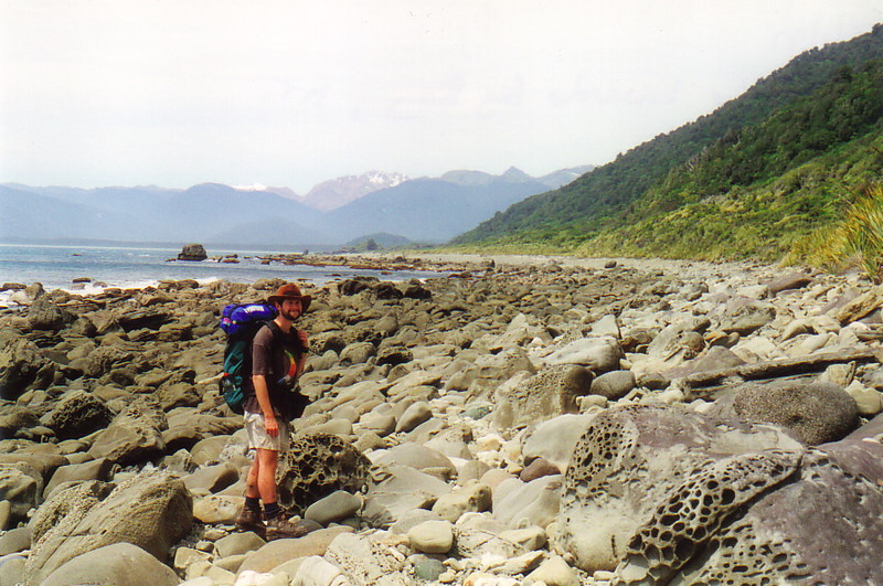
So on day 4, Rick and I set off together on the trail to Martins Bay, which marks the end of the Hollyford Track. The walk was pretty lovely as it followed the beach on northern Lake McKerrow, before ducking into more bush and arriving at the Lodge...and here we asked for the weather report, nervous as to what it might say. It turned out that it would be fine for at least a couple of days – and no Fiordland weather report can be relied upon beyond a couple of days – so we committed to our plan (and should have been committed, frankly); the Pyke Loop it was.
We pushed on to the Martins Bay Hut, which was along a glorious beach, and stopped for lunch there, right at the end of the Hollyford Track. All of a sudden, Martins Bay had changed from the end of the track to the beginning of the Hard Part... and the butterflies were there in my stomach. We were about to enter dangerous territory where people die, territory where you can't afford to give up, because if you give up, you get stranded, and if you get stranded, you either get rescued, or you get discovered weeks later. We'd both told DOC of our intentions, as one always should, but they wouldn't be searching until a day or so after we were supposed to return, and even then they'd still have to find us. It was a sobering thought.
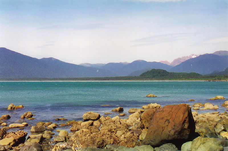
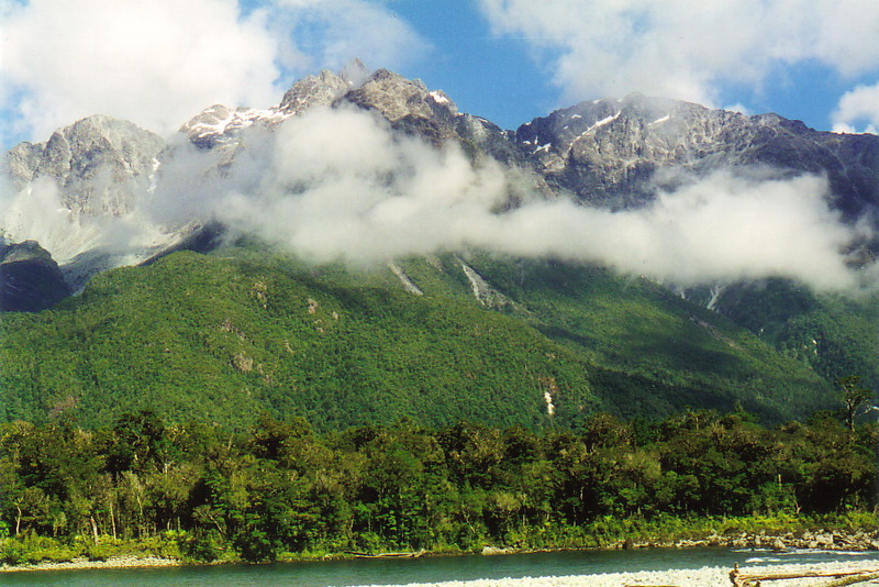
We pushed through to Big Bay that afternoon, effectively crossing the top of the Y. It was instantly obvious that the type of walking had changed; there were no more lovely tracks, just little worn routes with the odd marker. At the same time, the walk instantly became much more interesting; the path from Martins Bay to Big Bay was mainly along the coast, passing a truly stinking seal colony and some amazing rock sculptures, and all the time we had this wonderful view ahead of us of these huge mountains, such as Mt McKenzie, with their snowy tops and barren slopes where nothing grows at all. Big Bay itself lived up to its name, and the long slog along the beach was getting a bit painful after such a long day, but with views like this, it's amazing how you forget your aching feet and straining shoulders. The hut, right at the northern end of the bay, wasn't one of the most delightful I've ever seen, but we didn't care and, apart from one other person (who turned out to be a bit of a weirdo from Te Anau1) we were totally alone in one of the most isolated spots in New Zealand. It was quite wonderful.
Big Bay might have been isolated, but there was one surprise in store. People tend to leave their excess food in huts, just in case a needy traveller turns up, and among the bags of milk powder and sugar was a packet of blackcurrant Vitafresh, a cordial powder that makes dodgy creek water taste palatable. And there, emblazoned across the packet that dated back to 1995, was a competition; 'Win an Acorn Home Computer' it proclaimed, along with the logo and a picture of an ancient Acorn machine. Of all the places to find a bit of advertising from the company who were effectively paying my way round New Zealand...
Into the Wilderness
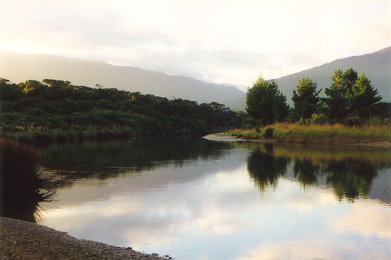
On day 5 we got up at 5am to make an early start, mainly because we wanted all the walking time we could get. The next hut, Olivine, was too far away for a normal day's walk, and most people camp out halfway along the loop, but having no tents we had to try for the hut, or stay out in a homemade bivvy (which was a feasible proposition, just not as nice as a hut). Bill's party had taken 14 hours to get from Olivine to Big Bay, so we set off with some idea of what lay ahead, and it all looked so easy on the map. If only we'd known.
The track started off with a reasonably simple trudge through thick forest – in which we managed to get lost, rather worryingly – and across a swing bridge, and then we struck out due east, heading towards the Pyke River. After about 10km of bashing through the bush we reached the Pyke, and here the fun started. After crossing the river, which was quite braided at this point and only just above knee deep, we hit the track, only to find it went through flax quagmire, not the most pleasant walking in the world. After wading through knee-deep water, by which time our boots were well and truly soaked, we decided that walking in the river itself might be a good idea, seeing as it hadn't been raining that much recently.
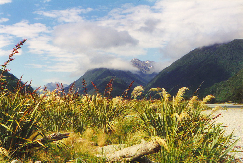
This turned out to be a good idea. While the track passed through goodness only knows what, we simply stuck to the river, crossing it in a zigzag fashion and sticking to the insides of corners where there was plenty of silt to walk on. The added bonus of river-hopping was the astounding view as we waltzed through the deep blue water (which was pretty damn cold, but refreshing nonetheless after the bush); looking down the valley we could see the Skippers Range rising up ahead on the right, with the Little Red Hill Range on the left, and occasional glimpses of the mighty Darran Range in the distance. It seemed that the stories of a living hell had to be wrong; this was beautiful tramping.
Before long we reached Lake Wilmot, where we stopped for a late lunch. The lake was pure beauty, and apart from some confusion with regard to the map – the one I was using was a 1988 revision, since which the whole area has been flooded a number of times, changing the area considerably – we'd managed really well. After lunch, full of Ryvita and confidence, we picked up the track along the eastern shore of the lake, making great progress to the southern end of the lake by about 3pm. And that's when things started to go wrong.
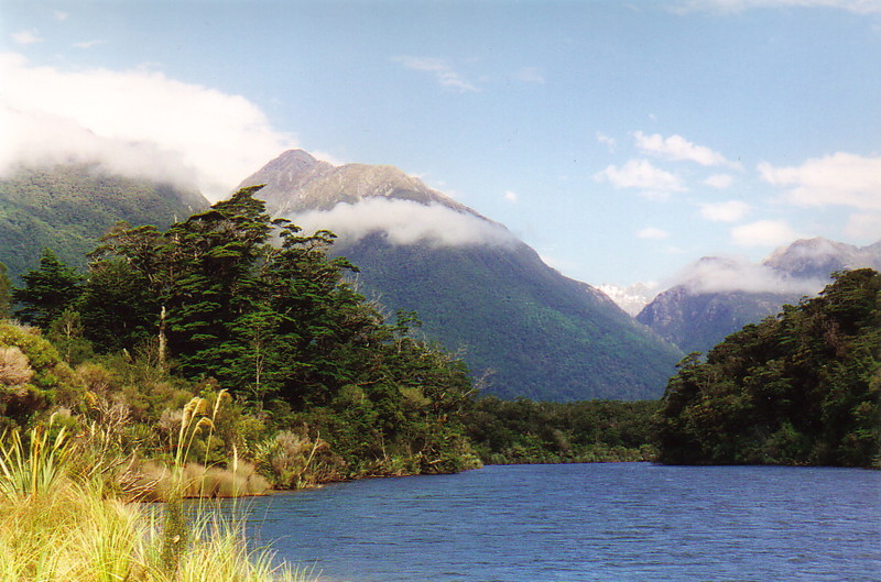
We lost the track pretty quickly, which wasn't that surprising as we'd been following our noses, there being no markers at all along the lake track. The problem was that we'd seen two different versions of the route on various maps; the one on mine said to go straight on after the lake, sticking to the east side of the valley, but the more modern map had shown a different track, crossing along the southern shore of the lake to the western side of the valley, before following the river down (which flows out of the southwestern tip of the lake).
We tossed a mental coin and went for the more modern option, crossing the southern shore to the river; we figured that having come this far down the river, we could probably continue to follow it all the way down. Whoops: bad choice.
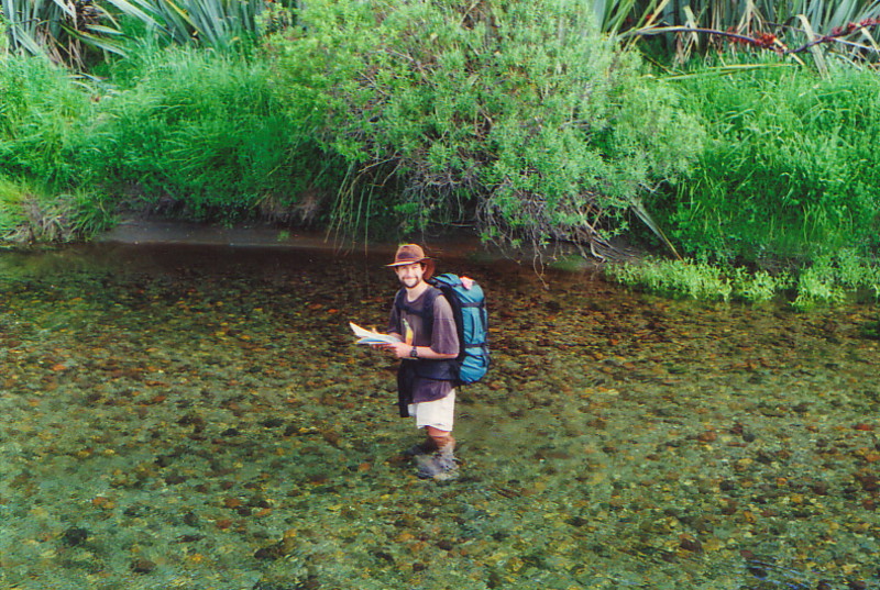
When a river flows out of a lake, it's going fast and deep. As we reached the southwestern tip of the lake, it became painfully obvious that we weren't going to be able to follow the river any more, even if we stuck to the banks, so we decided to try to follow the river bank a few metres in from the water, through the bush.
This was when it really began to fall apart; I have never experienced the likes of hardcore Kiwi river-flat bush, and I hope I never do again. Imagine the thickest thicket, and double it; our progress was by inches, there was no respite, and the only tracks we found were made by deer. It's not just a case of slow progress either; by far the worst aspect of bush-bashing is the pain involved, and here we discovered the source of Gary and Bill's bloodied legs – bush bastards like hook grass and bush lawyer, which take absolutely no prisoners.
Going Nowhere Slowly
It took us about an hour of bush-bashing to realise that it was hopeless; we were getting nowhere, and were in considerable pain to boot. We turned right around, smashed our way back to the lake – what a gorgeous sight after that hell! – and threaded back to the southeastern corner of the lake, where we nursed our pride and tried to save the day by finding the track. The relief when we found the first marker deep in the considerably easier bush was huge, and we followed the markers through beech forest until we hit the Barrier River; we constantly lost the track, but after our experiences with the river bush, we were determined to keep to the path now that we had it in our sights, so if we lost the markers we'd turn back and try again. Cries of 'marker!' from whoever was leading were like manna from heaven.
The Barrier River posed no problems, being only knee deep, and the next stage was relatively easy, passing through the river flats where Davey Gunn, a legendary figure in the area and original proprietor of Gunn's Camp, used to run his cattle. After crossing the Diorite Stream, from which we could see some beautiful waterfalls tumbling off the Little Red Hill Range near the source of the Diorite, we hit more bush, which the map said was the last stretch before the hut. If only it was that simple; the track wound round and round, seemingly going on forever, and we kept stumbling on parts that had been completely washed out. What do you do when a track disappears into the river? You get inventive, but when the sun's already ducked below the mountains and the hut has got to be close, it's soul destroying.
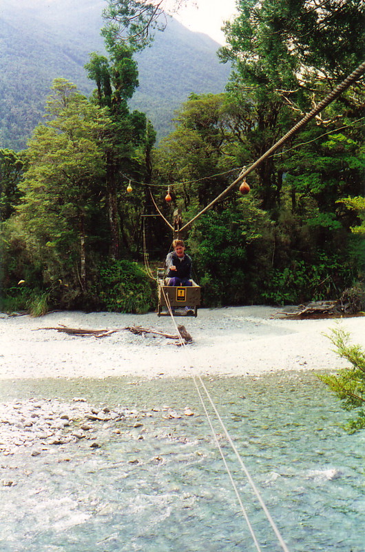
How we made it, I don't know; I was on autopilot as my legs followed the rutted track, even though I couldn't see the ground through the bush. I now understand what it's like to have a huge beer belly, when your feet become old friends that you never see any more, but eventually we got to the Olivine River, where a strange contraption awaited us: a cage bridge. This involved getting into a cage, one at a time, and winding your way over the river, a painful and tiring experience after the 14.5 hours we'd been walking... but at last we could see the hut, and boy, it looked cosy.
That night we slept like the dead, after cooking a hasty meal and passing on all our tips onto the two Kiwi women whom we met in the hut, and who were doing the Pyke the other way around. We got plenty of tips off them for the ensuing trip back to Alabaster, but we were so exhausted that most of it went over our heads, and when we woke up late on day 6, life was starting to return to normal after the struggles of the day before.
Well-earned Rest
The rest day is a long-honoured and essential tramping tradition. Back in the Pilbara, Scott and I spent a wonderful rest day on the George River, massaging ourselves in the fast-flowing rapids, and slowly getting our aching bodies back into shape for the return run. The rest day gives you time to reflect on where you are and how you got there; after all, tramping isn't so much a destination, as a journey – indeed, quite often the destination is the same car that you left from – and the rest day is when you can sit down and enjoy the complete solitude and total lack of the human world that you can only get by walking for miles into the wilderness.
I spent most of the day writing letters, talking with Rick about the hardships we'd suffered to get to where we were, and counting my scars. It felt good to know that the worst of the trip was over – the journey to Alabaster sounded easy in comparison – and we spent the day revelling in the knowledge that we'd managed to conquer the Pyke Loop. If only I'd known what lay in store for the next day, as I watched the stars appear in the clear night sky; it's not over until the fat lady sings, and she hadn't even turned up yet...
Day 7 saw an early start of 6am and more beautiful weather, with strong sunlight and a gentle breeze to take the sting out of the ultraviolet. On paper the route looked pretty easy; follow the river for about 10km before hitting the northern tip of Lake Alabaster, from where it was plain sailing if you just walked in the lake, according to the Kiwis. How could we go wrong? One word: washout.
We lost the track relatively early on, when we came upon a dry river that crossed our path. We crossed that easily enough, but soon after we hit the bush again, and we realised we hadn't seen a marker for a while. Never mind, we thought, we'll stick to the river bank, where we assumed the path would have been if the river hadn't washed the markers away. That was our mistake; the track actually headed inland, but we missed it, and the rest, as they say, is history. Bush-bashing our way through reasonably thick bush – not as thick as around Lake Wilmot, but thick enough – we eventually came out at the river again, rather lost, but heading in the right sort of direction. And that's where Rick decided he needed to get out of the grass, pronto.
Poor old Rick; he suffered badly from hay fever, and first thing in the morning we'd walked through a field full of pollen-heavy grass. He'd gone in front, and it had looked like he'd got an exhaust pipe fitted, the way he stirred up the pollen from the grass heads; now he was swelling up all over in a fearsome rash.
He clearly needed a break from the bush, and there was the river, all shallow and silted, so we decided to walk down the river again. It had been such a success before, so why not? It all went swimmingly for about 3km, until we tried to cross the river back to the eastern bank, but by this time it wasn't such a friendly, shallow trickle: by now it had got its act together.
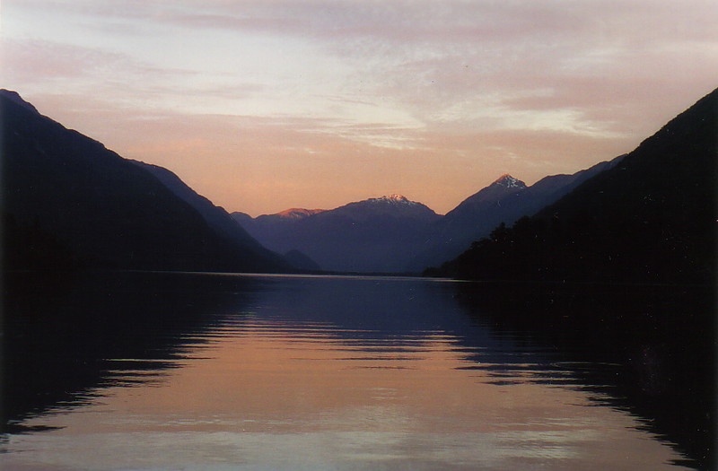
It's vital to take river crossings very seriously. The biggest cause of death in areas like the Pyke is drowning – indeed, Davey Gunn drowned in the Hollyford, and he would have known the dangers better than anyone – and as we tried to cross the river, now waist deep, it became increasingly obvious that if one of us was to lose his foothold, we'd be swept away. We aborted the attempt, and after a couple of further tries, we realised we would have to tramp back to our original crossing place, and resume the bush-bashing.
The whole river episode had been a waste of time and effort, but we looked at it philosophically; braver and more stupid trampers might have pushed on and tried the crossing, and they might have drowned. We, on the other hand, were suffering, but very much alive2.
The Black Swamp
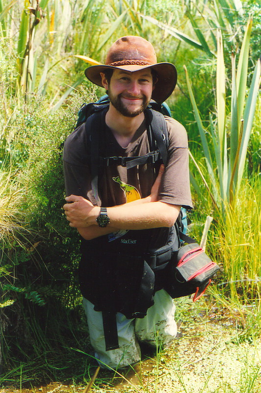
One good thing about the river escapade was that it enabled us to pinpoint our position on the map; we were just north of a river that flowed across the track, and we reasoned that if we could get to the river, we could walk up and down it relatively unhindered and find the markers. We soon found the river, and Rick headed west towards the Pyke, while I headed east. I must have walked for a good half a kilometre through waist-deep, brown water, not seeing or caring what lay in the muddy creek; I was just glad that this wasn't northern Australia, or I'd have been chomped up by a crocodile in no time at all. By the time I returned, soaked to the skin and with boots full of silt, I discovered that Rick had found the track, and had been yelling my name for ages. That's another nasty aspect of the bush; it eats all sound. But we were so glad to have found the track again, I didn't really care.
Actually, finding the track turned out to be a mixed blessing. The next obstacle was the one with the most emotive name on the map: the Black Swamp. We'd heard stories about the Black Swamp, and every one of them proved correct. It stank of rotting vegetation; it was, indeed, a very black, swampy area, dotted with odd tussocks of vegetation with strange grassy growths appearing out of the top; and it was waist deep in gooey, quicksand-like mud, as both Rick and I discovered as we waded through it. We started out by trying to hop from clump to clump, but this turned out to be pretty hopeless with the combination of heavy backpack and unstable vegetation, and by the end of the swamp, which can only have been about 200m wide, we were filthy, soaked, and, frankly, having a ball. When you're already muddy, you might as well wallow in it, and wallow in it we did.
After the Black Swamp we miraculously managed to keep to the markers, despite large numbers of washouts. I had decided to wear my waterproof over-trousers to keep out the hook grass, as my legs were too sore to cope otherwise, and progress was generally good, although the bush we bashed through was monotonous, dark and pretty soul destroying. As we emerged onto the beach at the northern tip of Lake Alabaster, I sank onto the ground and collapsed into lunch; we'd taken the best part of seven hours to get from the hut to the lake, a very long time for such a short distance.
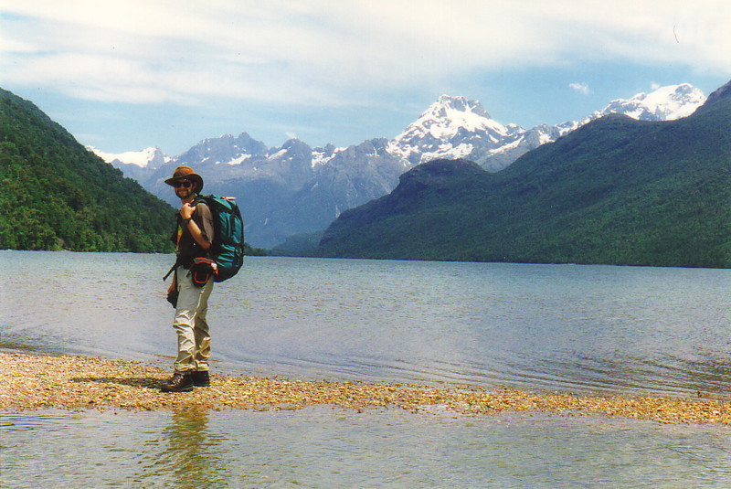
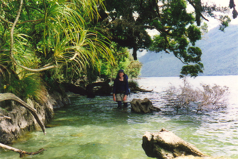
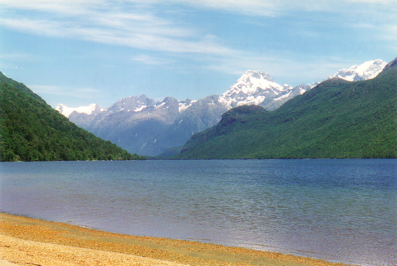
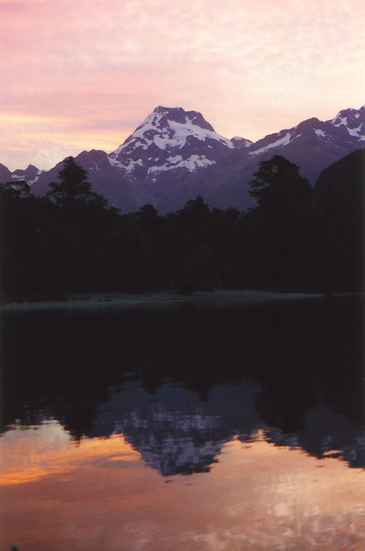
The view, though, was like no other. It was quite dreamy sitting at the end of the lake and looking south towards Mt Madeline and the Darran Mountains (the highest peaks in the region), especially after the darkness of the bush. From here on the walk was as near to perfect as you can get; we skirted the eastern shore of the lake, walking in the water which only came up to our knees, and making full use of the beaches when they arrived. The map reading was pretty easy too, as the western shore had a number of obvious features, and it was a big relief to be able to gauge our progress after the numbing frustration of the bush. We arrived at the Alabaster Hut just in time for tea, and for a wonderfully warm swim in the sun-heated lake.
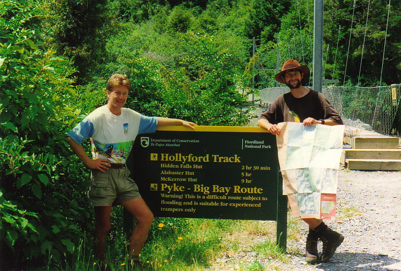
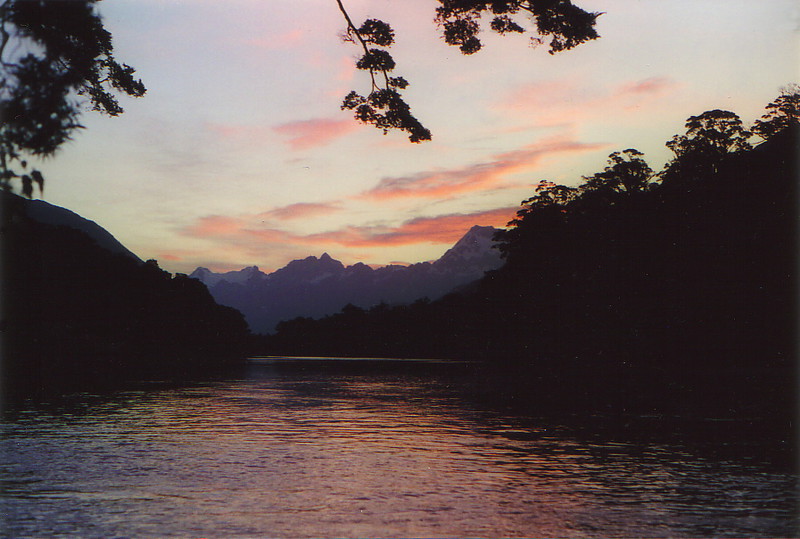
On our last night the sunset had to be seen to be believed. There were pinks and violets and purples and reds, all reflecting off the lake, with the strangest cloud formations making the sky look like a poster from the late sixties. It was no coincidence that we slept really well that night, and the next day the tramp out to the car was blissfully easy, with well-formed tracks, no mud and no bloody hook grass; it wasn't long before I'd met up with Zed – a welcome sight, I can tell you – dropped Rick off at his bus stop, and hopped into a gorgeously hot shower back at Gunn's Camp, probably one of the most pleasurable moments of a long tramp.
After eight days in the bush – one less than originally planned, but far more challenging and rewarding than originally planned, too – even the rugged and rustic charm of Gunn's Camp, with its fire-fuelled hot water system and friendly sandfly population, was civilised. That night I slept the sleep of the just.
1 Southlanders – that's people who live in Southland, which includes places like Invercargill and Te Anau, right at the bottom end of the South Island – have an accent all of their own. The area was settled by the Scottish, and as a result the locals have a very distinctive 'r' sound, derived from the rolling r's of the Scots. These days it makes Southlanders sound like people from Devon, but they tend to speak very slowly and have an odd habit of repeating themselves. All this tends to make Southlanders sound a bit simple, which is a shame, as they're actually the salt of the earth. What a pity we had to be stuck in a hut with the only one who lived up to his accent...
2 It's a serious point, this. I later read in the paper about a German who died on the Tasman Glacier when he fell off a moraine wall while taking a photograph; I'd spent Christmas Eve on the Tasman Glacier, and I'd climbed plenty of moraine around there. There but for the Grace of God...